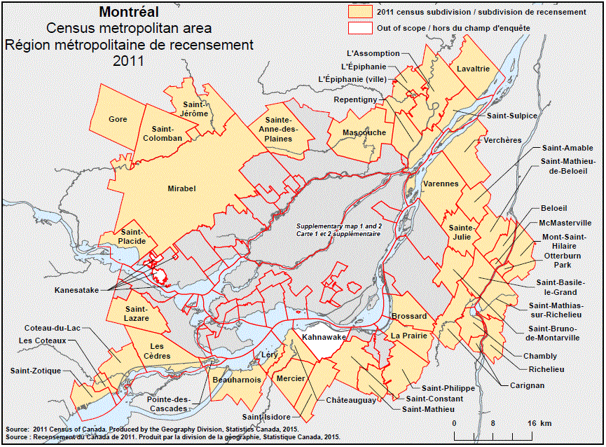
Geographical map of the 2011 Census metropolitan area of Montréal, Quebec – map 1 of 3. The following Census subdivisions and Out of scope areas are listed within this region:
Census subdivisions: Beauharnois, Beloeil, Brossard, Carignan, Chambly, Châteauguay, Coteau-du-Lac, Gore, La Prairie, L’Assomption, Lavaltrie, L’Épiphanie (parish), L’Épiphanie (town), Léry, Les Cèdres, Les Coteaux, Mascouche, McMasterville, Mercier, Mirabel, Mont-Saint-Hilaire, Otterburn Park, Pointe-des-Cascades, Repentigny, Richelieu, Saint-Amable, Saint-Basile-le-Grand, Saint-Bruno-de-Montarville, Saint-Colomban, Saint-Constant, Sainte-Anne-des-Plaines, Sainte-Julie, Saint-Isidore, Saint-Jérôme, Saint-Lazare, Saint-Mathias-sur-Richelieu, Saint-Mathieu, Saint-Mathieu-de-Beloeil, Saint-Philippe, Saint-Placide, Saint-Sulpice, Saint-Zotique, Varennes, Verchères.
Out of scope areas: Kahnawake, Kanesatake.
Source:2011 Census of Canada. Produced by the Geography Division, Statistics Canada, 2015.