
This map outlines the provinces and territories of Canada. There are ten provinces and three territories and they cover all of Canada. The province of Prince Edward Island is shown in green.
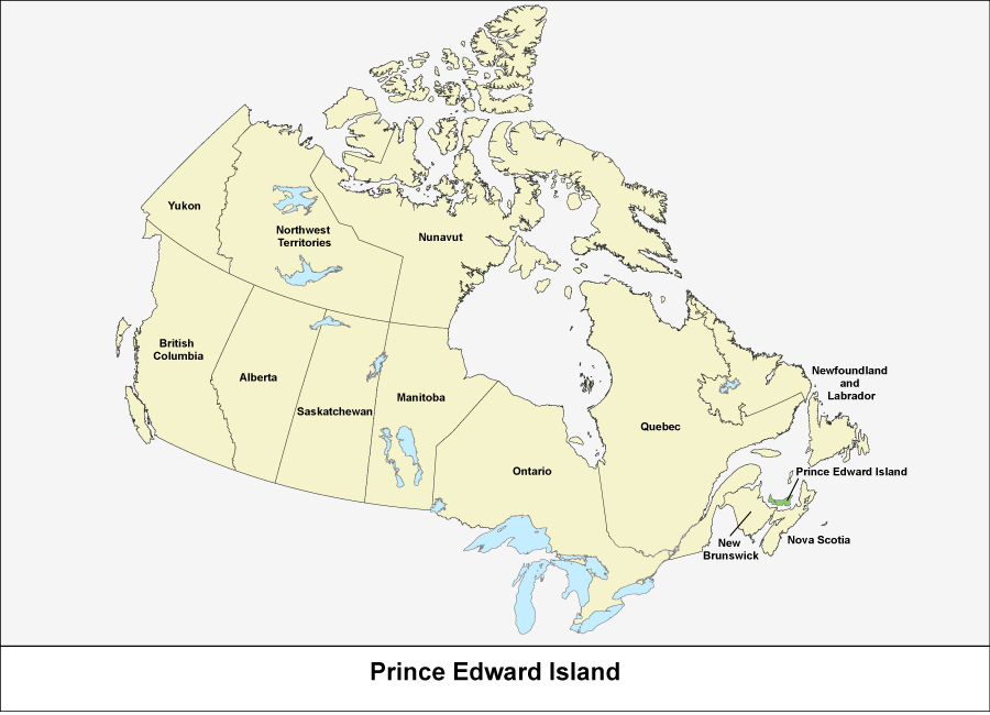
Source: Statistics Canada, Standard Geographical Classification (SGC). Volume I. The Classification (12-571-X).