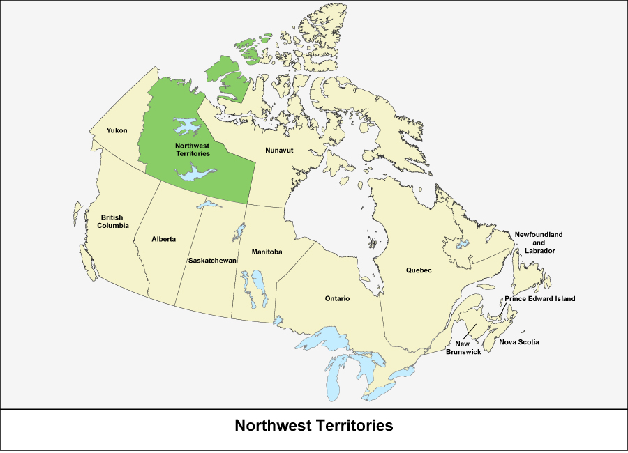
This map outlines the provinces and territories of Canada. There are ten provinces and three territories and they cover all of Canada. The Northwest Territories is shown in green.

Source: Statistics Canada, Standard Geographical Classification (SGC). Volume I. The Classification (12-571-X).