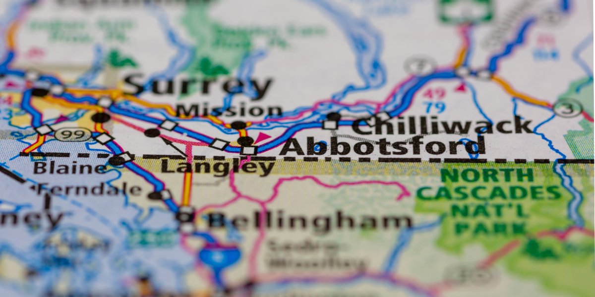
The Lower Fraser River Valley has some of the most productive farmland in Canada. Mild winters, rich soil and close proximity to the nation’s third-largest metropolitan area make it an ideal location for farm enterprises. Much of this prime farmland was underwater for several days during the second half of November, killing livestock, and destroying or damaging farm machinery and infrastructure.
Recently, Statistics Canada supported the Government of British Columbia in its emergency response by providing key statistical information on areas affected by the flood, including data on farming activities from the Census of Agriculture. This is part of ongoing efforts to improve emergency management in Canada through better data.
In 2016, the most recent year for which census data is available, a total of 2,580 farms were located in the flood zone. Two of the affected regions, Fraser Valley East and Abbotsford, represent a particularly large portion of agricultural activities in British Columbia. More than one-tenth of all farms in British Columbia (12%) were located in one of these two regions in 2016, including over three-quarters of all hog farms (78%), two-thirds of all poultry farms (69%) and almost half all dairy farms (45%).
Together, Fraser Valley East and Abbotsford also accounted for over one-third (37%) of the $4 billion in total farm revenues reported by farm operations in British Columbia in 2018. Poultry and egg production represented 23% of total provincial farm revenues, while the share of dairy and milk production was 17%.
Before the flooding, consumers in British Columbia already faced significant increases in food prices. For example, in October 2021, beef prices were 12% higher than one year earlier, largely the result of rising domestic slaughter prices and supply chain issues. Significant increases were also seen for poultry (+10%), pork (+9%), eggs (+6%) and dairy products (+5%). More increases could be expected with the disruptions associated with the flood.
Farm workers have also been impacted by the flooding. In 2018, almost one-quarter (24%) of the agricultural workers in British Columbia were employed in these two regions.
Next spring, new data from the 2021 Census of Agriculture will be made available to the public. These statistics will help us better understand the full impact of natural disasters on the agriculture sector in Canada.
For further reading
2016 Census of Agriculture (statcan.gc.ca)
The Daily — Consumer Price Index, October 2021 (statcan.gc.ca)
Contact information
For more information contact us (toll-free 1-800-263-1136; 514-283-8300; infostats@statcan.gc.ca) or Media Relations (statcan.mediahotline-ligneinfomedias.statcan@statcan.gc.ca).
